Industry
Standard Air Dispersion Model
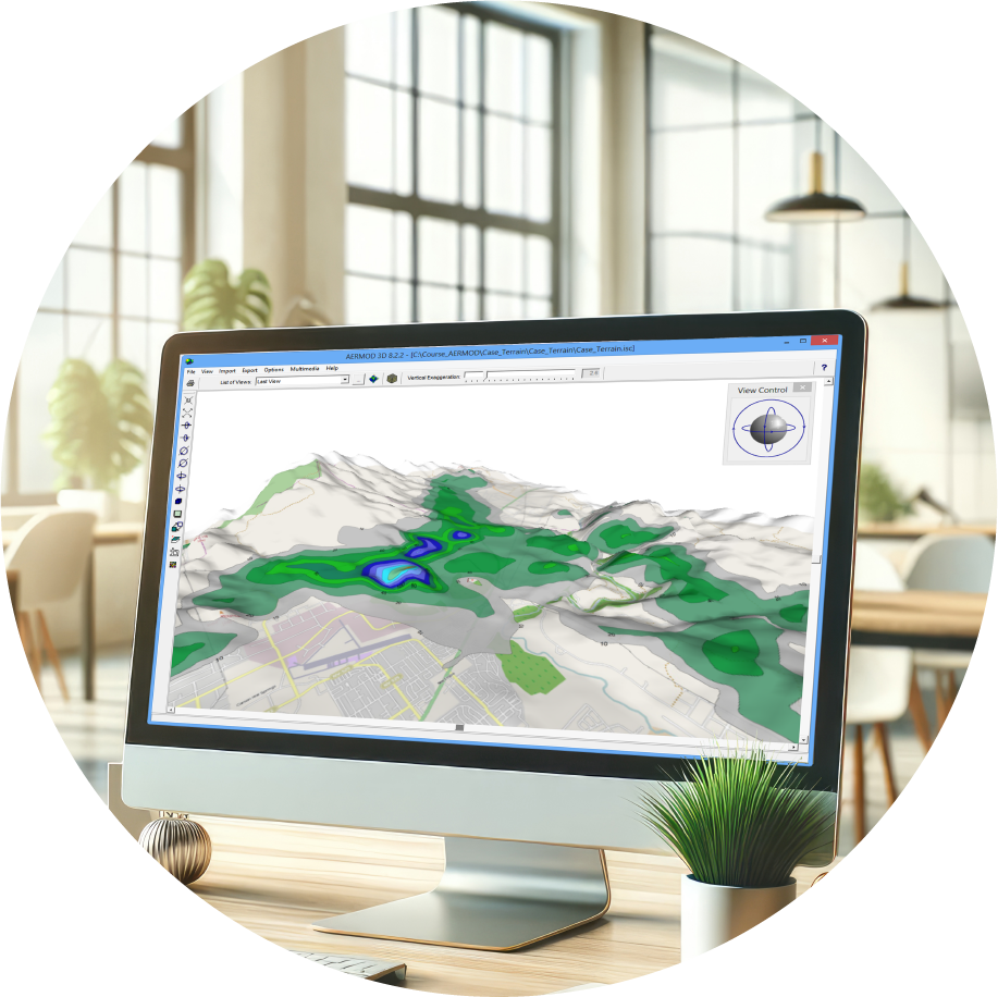
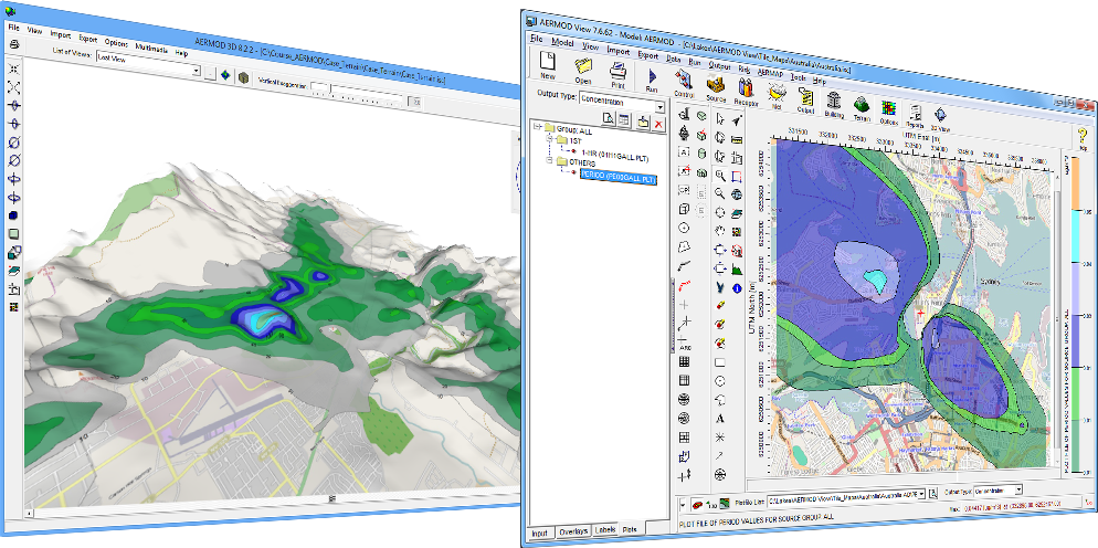
AERMOD View
The premier interface for the U.S. EPA's preferred air dispersion model. Engineered for precision, it seamlessly handles complex terrain, building downwash, and advanced meteorological conditions to deliver highly accurate pollutant concentration estimates.