Lagrangian Particle Tracking Model
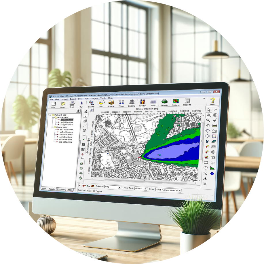
AUSTAL View
AUSTAL View is the premier graphical user interface for the official German Federal Environmental Agency air dispersion model, AUSTAL. Built on Lagrangian particle tracking technology, it delivers high-precision modeling for complex regulatory air quality assessments.