Groundwater Flow & Contaminant Transport
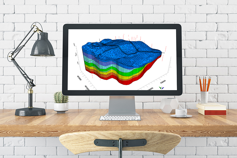
Visual MODFLOW Flex.
Visual MODFLOW Flex brings together industry-standard codes for groundwater flow and contaminant transport, essential analysis and calibration tools, and stunning 3D visualization capabilities in a single environment.